Remote Sensing for Cultural Heritage: Unlocking the Past
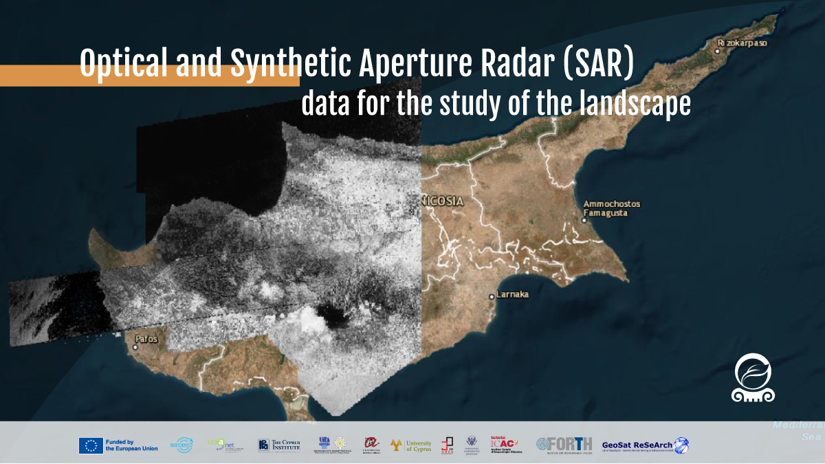
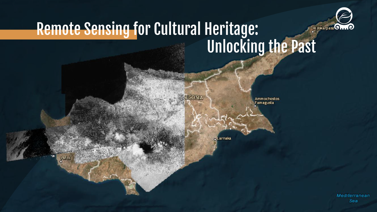
This workshop is designed to provide basics of remote sensing applied to cultural heritage. Participants will gain a practical understanding of how to access, process, and analyze satellite and aerial imagery for heritage research, including examples from archaeology. It will be a valuable opportunity to explore potential synergies among partners, share experiences, and identify ways to collaborate on remote sensing applications within the CHANGES project.