Geophysical Prospection/Geoinformatics Activities 2025
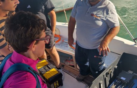
What an amazing experience to our field-days with the CHANGES Project (Erasmus+) at Elounda Bay!
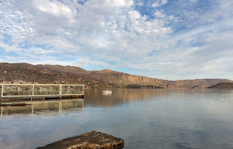
Location: Elounda Bay, Crete, Greece
Dates: 28th–31st of October 2025
Day 1 – 28th of October
• Field training in unmanned aerial vehicle (UAV) aerial & marine archaeology
• Surveying coastal dynamics from both sky and sea
Day 2 – 29th of October
• Advanced geophysical prospections on the coastal and shallow-marine cultural-heritage environment
• Uncovering hidden cultural-heritage traces beneath the seabed
Day 3 – 30th of October
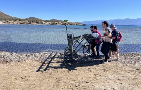
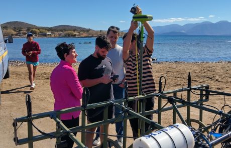
Magnetometer Survey (Marine & Terrestrial):
• Performed marine & terrestrial magnetics in coastal zones and near archaeological features
• Imported and processed magnetometer datasets — applying corrections, filtering, and noise reduction
• Generated preliminary maps and 2D visualizations of magnetic anomalies
Sub-Bottom Profiling (SBP):
• Scanned targeted shallow and deep marine areas within Elounda Bay
• Focused on detecting stratigraphic and geomorphological structures
• Visualization of the profiles
• Identified and documented anomalies
Day 4 – 31st of October
Workshop: Remote Sensing & GIS Analysis:
• Analysed historical aerial imagery and recent satellite data
• Performed Satellite-Derived Bathymetry (SDB) modelling
• Developed landscape models using Digital Elevation Models (DEMs)
• Generated combined datasets for final visualization and reporting
This hands-on collaboration brings together dedicated researchers and students from partner institutions across Europe, combining cutting-edge technology and heritage science to better understand coastal change and underwater heritage in the Eastern Mediterranean.

